Each character starts with a Blessed/Newbiefied World Atlas in their backpack, allowing easy navigation and travel throughout Outlands. Players can access an atlas at any time by typing [atlas. The atlas provides entries on Townships, Dungeons, Healer Caravans, Shrines, and Points of Interest. All locations in the atlas are automatically unlocked and available to players without needing to secure a campfire. Additionally, all locations only require 60 Camping skill to Hike, including Custom and Personal locations.
If a player attempts to remove the atlas from their backpack, it will be automatically deleted. However, they can always retrieve a new one by using the atlas command.
Hiking
Most dungeon entries in the World Atlas provide two Hiking options:
- Hike Outside – Teleports the player to a randomized location outside the dungeon.
- Hike Inside – Teleports the player to a randomized location near a Golden Moongate inside the dungeon.

Hiking Restrictions
While Hiking provides convenient travel, certain conditions prevent its use:
- Players cannot Hike if they currently have a Heat of Battle effect active (often applied during Faction activities or other PvP events).
- Players cannot Hike if they are currently flagged as Criminal.
- Unlike Recall or Gate Travel, Hiking is no longer prevented by being flagged as "Recently in Combat" or "Recently in PvP".
New Player Category
The World Atlas features a New Player category, designed specifically for beginner-friendly destinations that are considered Sanctuary Areas. These locations include:
- New Player Dungeon
- Ratman Hovel
- Shelter Island
- Urukton Bluffs
These areas provide a safe environment for new players to explore and gain experience without PvP threats.
Personal Category
The Personal Category allows players to Hike to locations specific to their character. To access these locations, a player must have at least 60 Camping skill. Personal locations include:
- Hike to House – Available if the player owns a house. Hiking will place the player at the house's ban location (typically under the house sign).
- Hike to Ship – Available if the player has a ship currently at sea. This option embarks the player and nearby followers to a random embark location on their ship.

Tracking to Location
The World Atlas allows players to track their destinations using a persistent navigation arrow and step counter.
- Clicking Begin Tracking to Location generates a directional arrow on the player's screen, pointing toward the selected destination.
- Every 10 seconds, a system message updates the player on how many steps they are away from the destination.
- Players can also click Show on World Map to view a large-scale world map with marked locations.
- Clicking Show Local Map provides a zoomed-in view of the immediate surroundings of the destination.
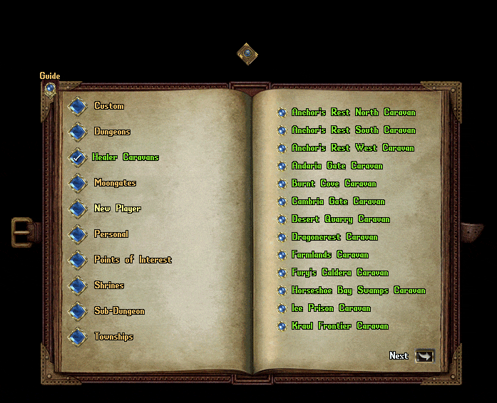
Understanding the World Atlas
The left page of the Atlas contains Location Categories, which include:
- Custom
- Dungeons
- Healer Caravans
- Moongates
- New Player
- Personal
- Points of Interest
- Shrines
- Sub-Dungeons
- Townships
The right page lists all locations available within the currently selected category. Clicking a location opens a detailed view with specific information, such as:
- Lat/Long – Latitude and longitude coordinates, commonly used for Treasure Maps.
- Coordinates – Standard X, Y coordinates for the location.
- Distance to Location – The number of steps required to reach the destination.
- Direction to Location – The calculated direction from the player's current position.

Atlas Features
Each detailed location window includes several interactive buttons:
- Show Arrow to Location
- Show on World Map
- Show Local Map
- Hike Outside and/or Hike Inside (if applicable)
- Previous and Next
Show Arrow to Location
- Displays a persistent navigation arrow on the player's screen.
- Right-clicking the arrow cancels the tracking.
- The player receives system messages every 10 seconds showing their distance from the destination.
Show on World/Local Map
- Opens a large-scale world map displaying the player's location (Pin 1) and the selected destination (Pin 2), with a path drawn between them.
- Clicking Show Local Map displays a smaller map focused on the immediate area around the selected destination.
- Clicking the Return button brings the Atlas window back to the location selection menu.